Made it!
After 24 hours of rocking and rolling we arrived at Neah Bay just before noon.
Neither Al, nor myself knew what the best strategy was to go up the
coast of Washington.
Weather and sea conditions were light winds, cloudy skies, 1 to 2
meter swell from the SW and 0,5 to 1 meter swell from the NW.
I was concerned about crab pots so I chose to travel the 50 fathom
line (300 feet). This proved to be my first poor decision.
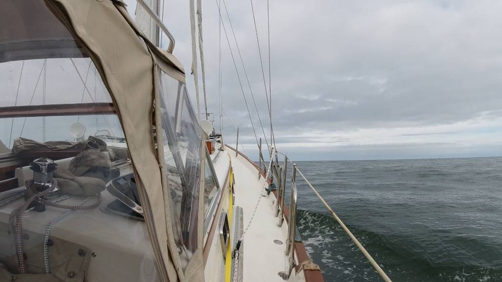
Traveling NW from buoy 3 we immediately got into the SW swell hitting
the beam while crashing through the NW swell. It sounds as rocking
and rolling as it was.
At about 25 fathoms ( 150 feet ) the water smoothed out for a short
time. This was short lived as we passed through 30 fathoms (180 feet)
and the edge of the California current. There was lots of flotsam and
jetsam as we passed into the California current. we lost about a knot
of speed and as we got deeper, we encountered a change in sea where
the SW swell time period shortened and the swell got steeper,
especially where the SW and NW swell crossed. Undeterred we went
deeper hoping that things would smooth out. They didn’t.
After getting pounded for a few hours (and my first bout of sea
sickness) I decided that I would rather dodge crab pots and turned to
shallower water.
At 35 fathoms we crossed back out of the California current through
the flotsam and jetsam. The sea state immediately smoothed as the SW
swell stretched out and the water surface glassed out.
Night was approaching, I had totally lost control of my stomach and
focused on staying hydrated. Even with smoother seas we were getting
hit broadside with the swell and knocked around by the NW swell. I
chose to stick with the 35 fathom line, again hoping to avoid crab
pots.
Al was beat. He was good for 1 hour on 2 hours off so I took the 2
hours on 1 hour off schedule through the night.
At night you see very little. AIS kept me informed of approaching
vessels and vessels going in the same direction, mostly to our port.
Sometime around 1pm the sea state changed. My guess is we crossed
back over into the California current as we lost some speed. We were
back into the steep swell and peaking SW/NW swell. Still no wind. I
stayed the course. In retrospect I should have realized the
California current is closer the the coast as we went further north.
As dawn arrived and the coast line became visible, I pointed Estrella
to shallower water. At the 25 fathom mark we crossed out of the
California current and back into smoother water.(phew). Al took the
last watch of the night and I finally got an hours sleep.
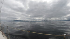
I woke up to pretty calm water. Al, chose to get in even closer, 15
to 20 fathoms and the sea state was much calmer.
We could see Tatoosh Island and Cape Flattery. A little light rain,
no wind and a much easier sea state.
Al pointed out the gap between Cape Flattery and Tatoosh. Shooting
the gap would save us at least 1/2 hour. I checked the currents and
it was in full flood so we would get flushed through. the gap is
closest to the Island. We could see the rocks to starboard. The
current was pushing towards the rocks. Estrella easily compenstated
and we got a 10 knot ride through the rapids as we stayed in the 20
foot deep channel.. North of the gap the flood from the channel mixes
with the straight of Jaun De Fuca flood and made for some interesting
twists and turns.
Finally, we rounded the island marking the entrance to Neah Bay, found
a spot to anchor at 11:00am, had some chicken soup and we both
crashed.
Learnings heading north along the Washington coast:
1) Stay inside 20 fathoms and deal with the crab pots.
2) Rely on your radar at night and don’t be afraid to fly by instruments.
3) Prepare your stomach well before hand.
4) Avoid that SW swell, wait till that sea state changes.
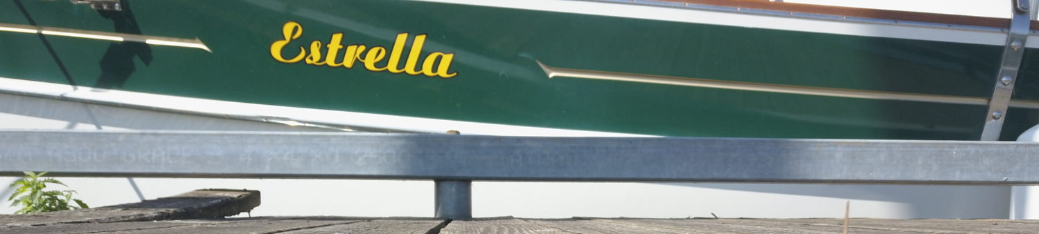
Estrella Sailing Vessel | All Rights Reserved.
Recent Comments